
A fresh Western Disturbance is expected to impact Jammu Kashmir on February 20, bringing widespread rain and snow across the region, according to a report by Kashmir Weather.
The weather system is likely to develop over Afghanistan on February 19 before swiftly moving towards Jammu Kashmir.
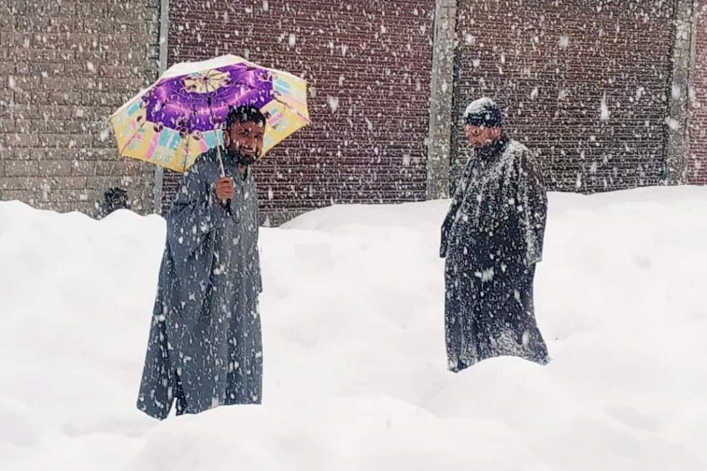
The first signs of the disturbance are expected to appear in the higher reaches late on February 19, with precipitation intensifying as it spreads across the region. Moderate rain and snow are anticipated in most parts of Jammu and Kashmir, with the possibility of heavy precipitation in some areas.
The Jammu region is likely to receive more precipitation compared to the Kashmir Valley, with the Chenab Valley districts—Ramban, Kishtwar, and Doda—expected to experience moderate to heavy rainfall. In the plains of Kashmir Valley, rainfall is expected to dominate; however, a significant drop in temperatures could lead to a transition to snowfall, particularly under prolonged heavy precipitation.
On February 19, temperatures are forecasted to remain between 15°C and 18°C but are expected to drop below 7°C on February 20. The Pir Panjal range, including areas such as Gulmarg, Sinthan Top, Peer Ki Gali, and parts of Mughal Road, is expected to receive heavy snowfall.
Due to elevated temperatures, lightning and thundershowers are likely, particularly in the Jammu region. Additionally, there is a risk of shooting stones and landslides along the Jammu-Srinagar National Highway on February 20. Weather conditions are expected to improve from February 21 onwards.
- News Deskhttps://thekashmiriyat.co.uk/author/kashmiriyat/
- News Deskhttps://thekashmiriyat.co.uk/author/kashmiriyat/
- News Deskhttps://thekashmiriyat.co.uk/author/kashmiriyat/
- News Deskhttps://thekashmiriyat.co.uk/author/kashmiriyat/


