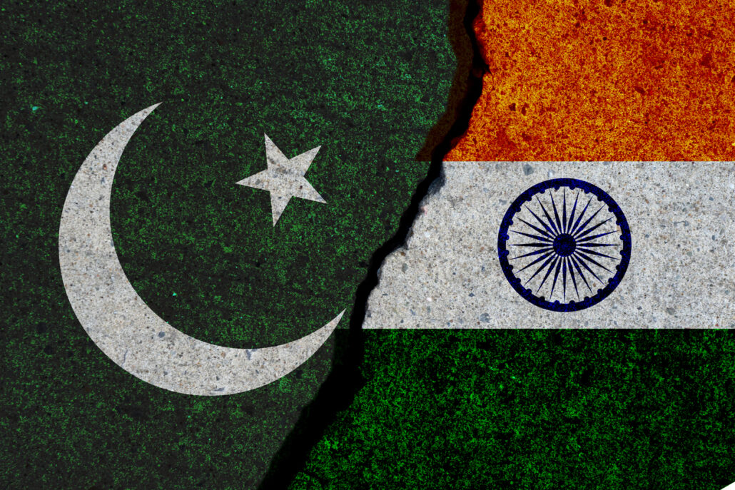
Prime Minister of Pakistan, Imran Khan in reference to the first anniversary of revocation of Article 370 in Jammu Kashmir, unveiled a new political map which claims Ladakh, Jammu Kashmir, and parts of Gujarat as an integral part of Pakistan.
After Nepal, Pakistan seems to show cartographic aggression to India with this new map that was made public on Tuesday, according to news reports.
According to this map, Jammu Kashmir is shown as a disputed territory and awaiting UNSC resolutions which will decide the final status.
Imran khan addressing a press conference said, “This is the most historic day in Pakistan history. Today we are introducing the new map of Pakistan to the world. This new map has been endorsed by Pakistan’s cabinet, the opposition, and the Kashmiri leadership. This map is as per the aspirations of the entire nation, as well as the people of Kashmir.”
He also added that this map nullifies the step that India took on August 5 last year with regards to Kashmir. Starting today, this will be the official map of Pakistan.
Celebratory scenes were witnessed all around, in which the foreign minister of Pakistan, Shah Mehmood Qureshi, gave a statement that “For the first time in history our government has openly presented its stance before the world.”
He also reiterated the demand for an UN-monitored plebiscite in the region. “We believe that the entire Kashmir region is disputed and it needs a solution,” he added.
On the other hand, there was widespread condemnation, disappointment, and sharp responses from India on Pakistan’s this step where they stated it as absurd and unethical move.
External Affairs Minister of India, Subrahmanyam Jaishankar said that “This exercise is a political absurdity, laying untenable claims to territories in the Indian State of Gujarat and our Union Territories of Jammu and Kashmir and of Ladakh. These ridiculous assertions have neither legal validity nor international credibility. In fact, this new effort only confirms the reality of Pakistan’s obsession with territorial aggrandizement supported by cross-border terrorism.”
According to the reports, Pakistan seems to take head-on after Nepal as in May this year Nepal unveiled a new map which included the areas of Limpiyadhura, Lipulekh, and Kalapani as lying within its borders. While India and Nepal had been showing the areas of Lipulekh and Kalapani as parts of their respective territories, Kathmandu in May added a third area—Limpiyadhura—to its territory.
This move followed criticism by everyone in India saying that this move was unilateral and not based on historical facts and evidence.
According to official reports, India denied such an artificial enlargement of territorial. Pakistan’s move came against the backdrop of a border standoff between India and China, with ongoing tensions running high since May when multiple intrusions into the Indian Territory by the Chinese army conducted.
The Kashmiriyat is now on Google play. Download the App HERE


