
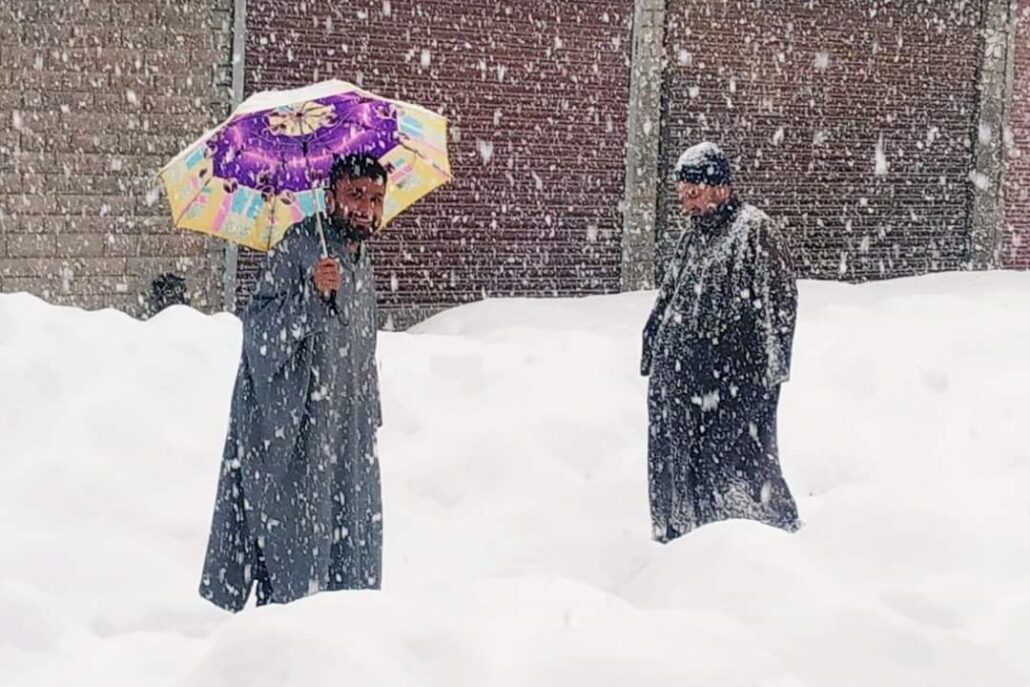
In the midst of a prolonged dry spell lasting over two months, Jammu Kashmir continues to grapple with limited precipitation prospects.
The latest forecast maintains the absence of a major spell, particularly in the plains, although intermittent precipitation remains on the horizon.
Anticipated for tomorrow is the initial round of light to moderate rain/snow, set to transpire between morning and night, Kashmir weather reported.
The impact of this weather system is projected to be less prominent over the plains of the region.
As the transition unfolds between the night of the 27th and late afternoon of the 28th, there is a likelihood of encountering light to moderate rain/snow showers in specific areas of J&K.
The climatic scenario takes a notable turn from the evening of the 28th to the evening of the 29th. During this period, a peak in precipitation is expected across most areas of Kashmir and select locations in the Jammu region.
“The intensity of the rain/snow will be light to moderate. Notably, certain higher-altitude regions may experience a more substantial snowfall,” the independent weather forecast said.
Of particular concern is the impact on north Kashmir, where the main brunt of the weather system is expected to be felt.
Regarding the potential for snow in plains, probabilities stand at 50% for North Kashmir, 30% for south Kashmir (excluding Shopian, with a 45% likelihood), and 25% for central Kashmir.
Any snowfall in central and south Kashmir plains is not expected to exceed a couple of inches, as the weather system lacks the strength of a robust Western Disturbance.
Looking ahead, the latter part of January may witness additional rain/snow showers from the 30th or 31st onwards, with further updates on this aspect to be shared at a later time.